WV Watershed Focus: Saltlick Creek dams
The Saltlick Creek dams are flood control structures in Braxton County that were built in the mid-1960s and provide protection for people and property in part of central West Virginia.
Dam sponsors are the Elk Conservation District, the Braxton County Commission and the West Virginia Conservation Agency.
These sponsors are responsible for the operation and maintenance of the structures, to assure that they are functioning in the correct manner and to maintain the as-built condition.
George Skidmore, president of the Braxton County Commission, said that in addition to the primary flood control benefits of the dams, “They’ve turned out after all these years to be a pretty good fishing hole, too.”
He noted that the dams have “kind of set back there for so long they kind of get overlooked,” but they provide a valuable benefit to people and property in Braxton County.
For as long as Skidmore can remember, the county has contributed to the operation and maintenance costs of the Saltlick Creek dams.
“We try to support them as best we can and intend to keep working with them,” Skidmore said of the Elk Conservation District.
The commissioners also are invited each year to tour an inspection of the dams, he said.
Each of the Saltlick Creek dams are classified as high hazard, meaning if a breach were to occur, then loss of life and property are possible.
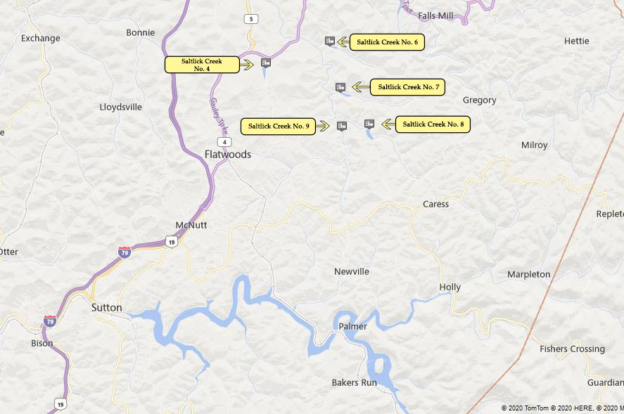
Saltlick Creek No. 4 (below) was completed in 1967.
The dam is 43 feet high and designed to impound a maximum storage of 592-acre feet of water.
Berry Fork flows into the dam.
The surface area of the dam is 6 acres and the drainage area is nearly 1.75 square miles.
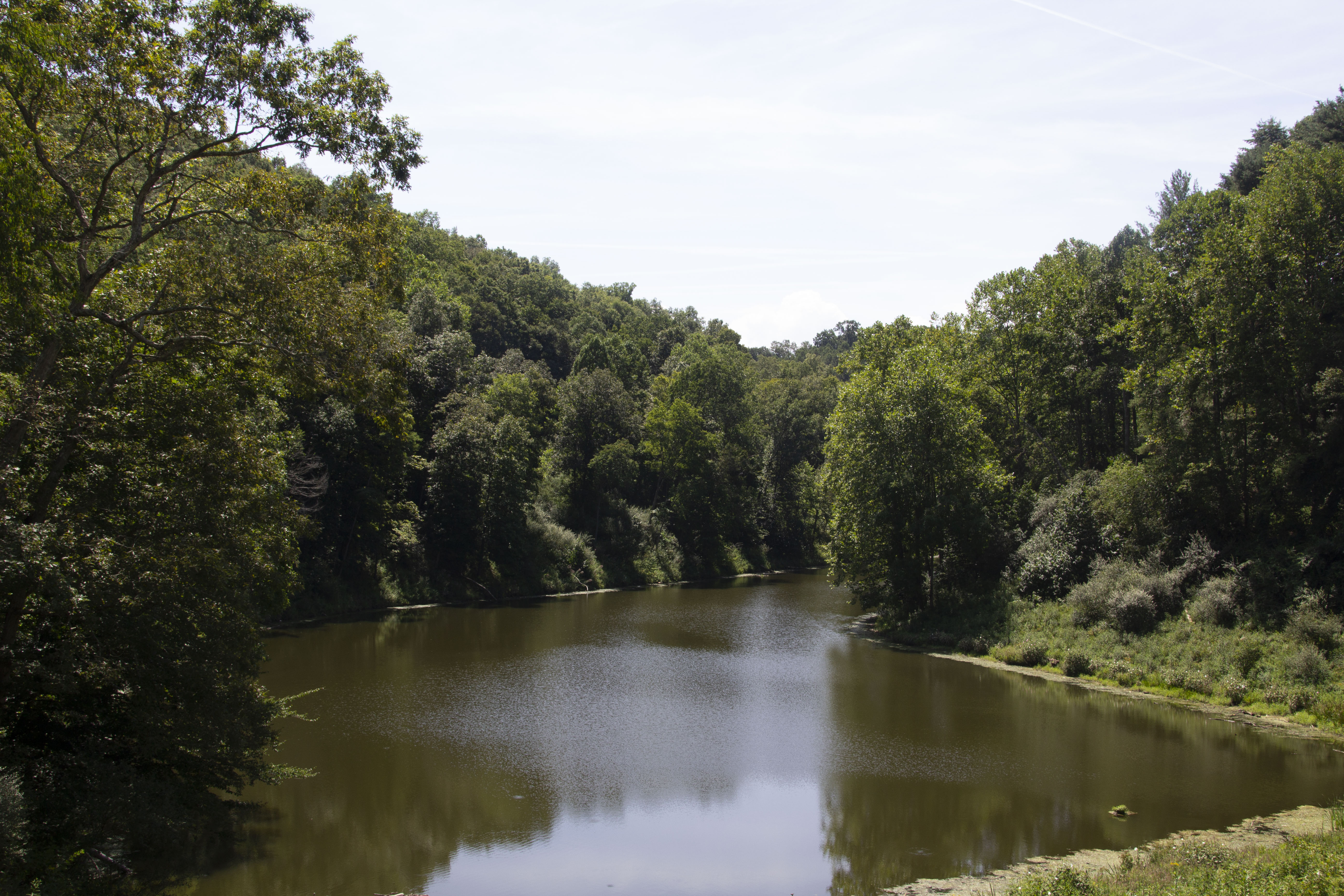
Saltlick Creek No. 6 (below) was completed in 1964 and is the oldest of the five Saltlick dams.
The dam is 51 feet high and designed to impound a maximum volume of 445-acre feet of water.
Pickles Fork flows into the dam.
The surface area of the dam is 4 acres and the drainage area is 1.58 square miles.
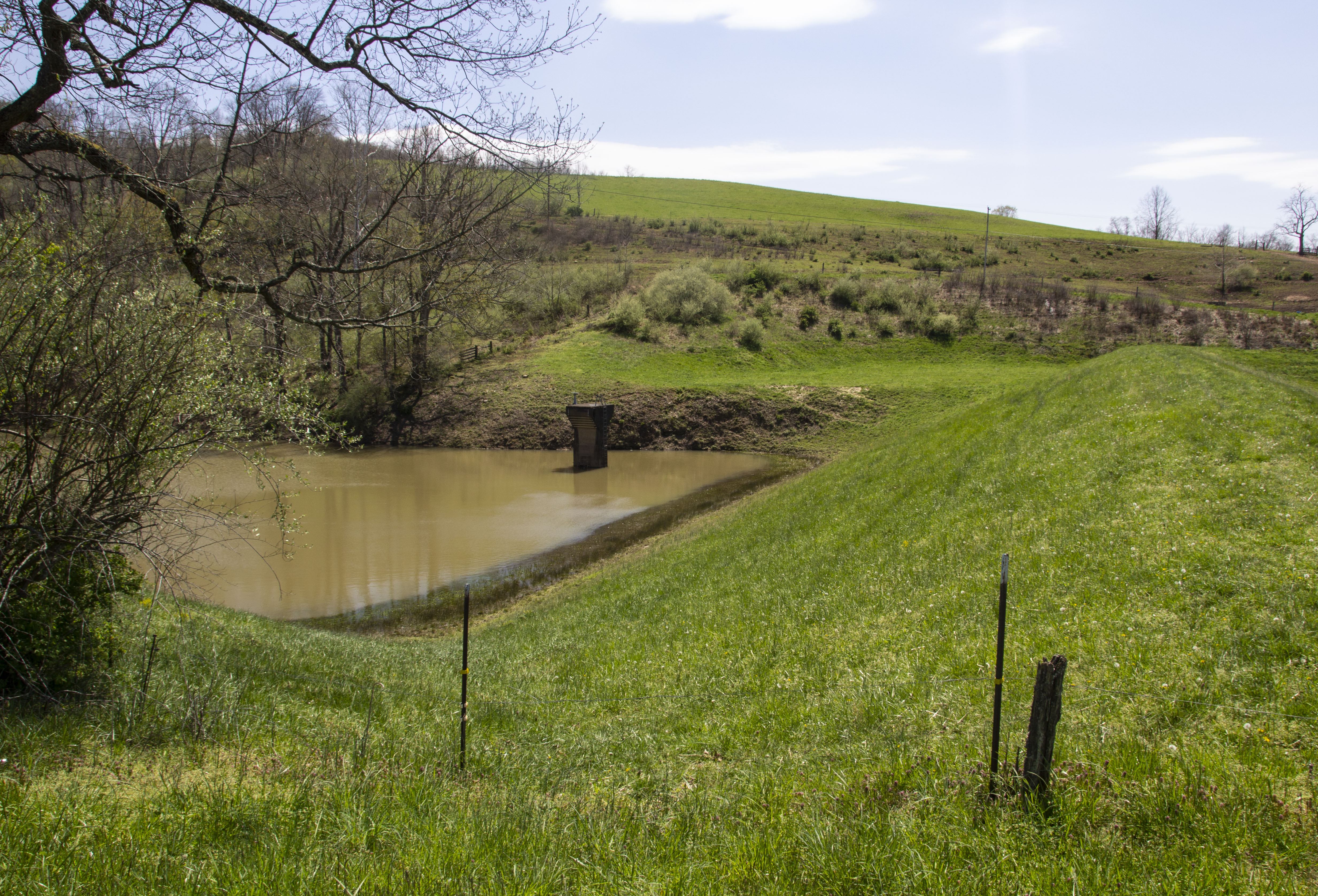
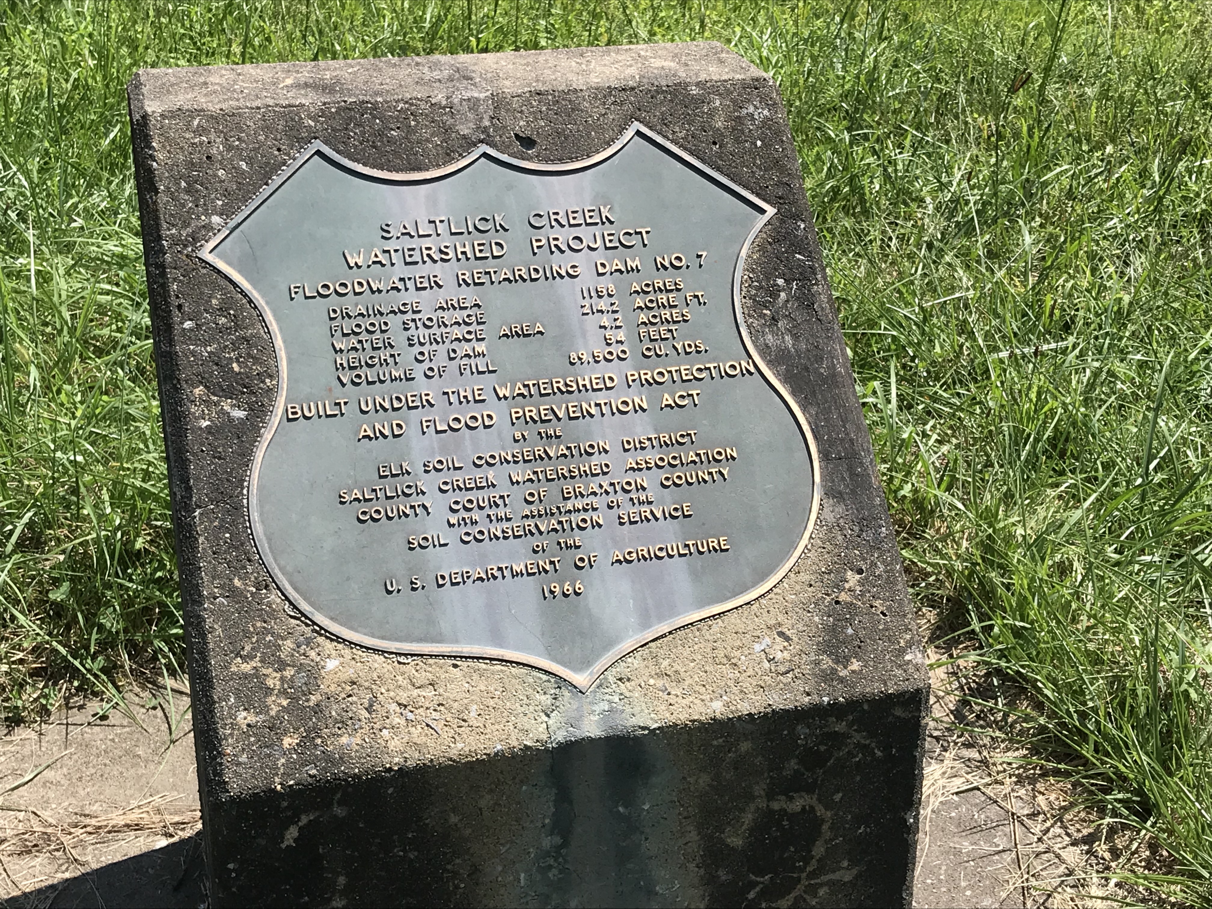
Saltlick Creek No. 7 (below) was completed in 1966 and is 60 feet high.
It was designed to impound a maximum volume of 402 acre feet of water.
Spruce Fork flows into the dam.
The surface area of the dam is 4 acres and the drainage area is 1.8 square miles.
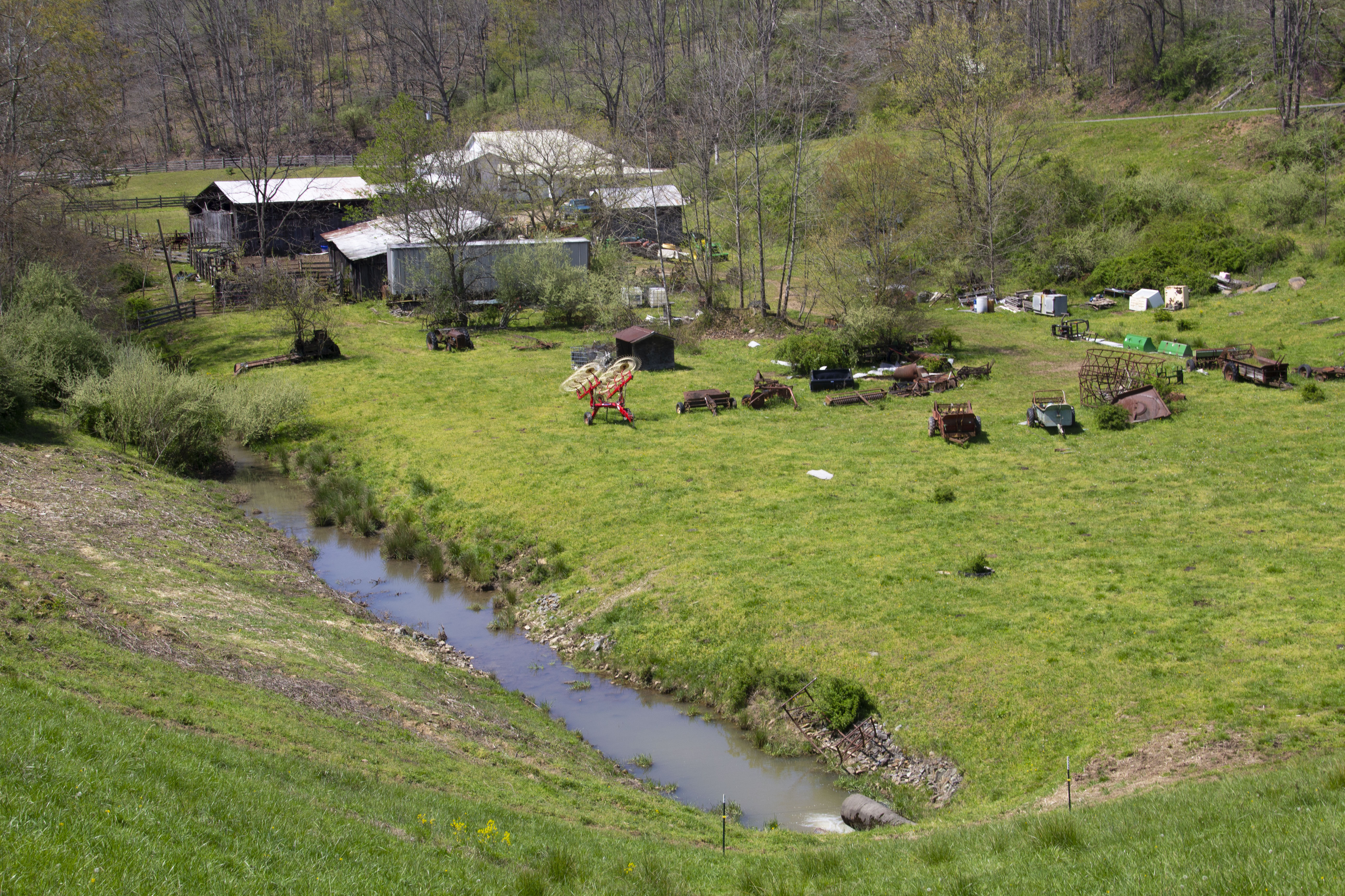
Saltlick Creek No. 8 was completed in 1965 and is the tallest of the five dams, at 77 feet high.
It was designed to impound a maximum volume of 1,407-acre feet of water.
Hughes Fork flows into the dam.
The surface area of the dam is 8 acres and the drainage area is 4.9 square miles.
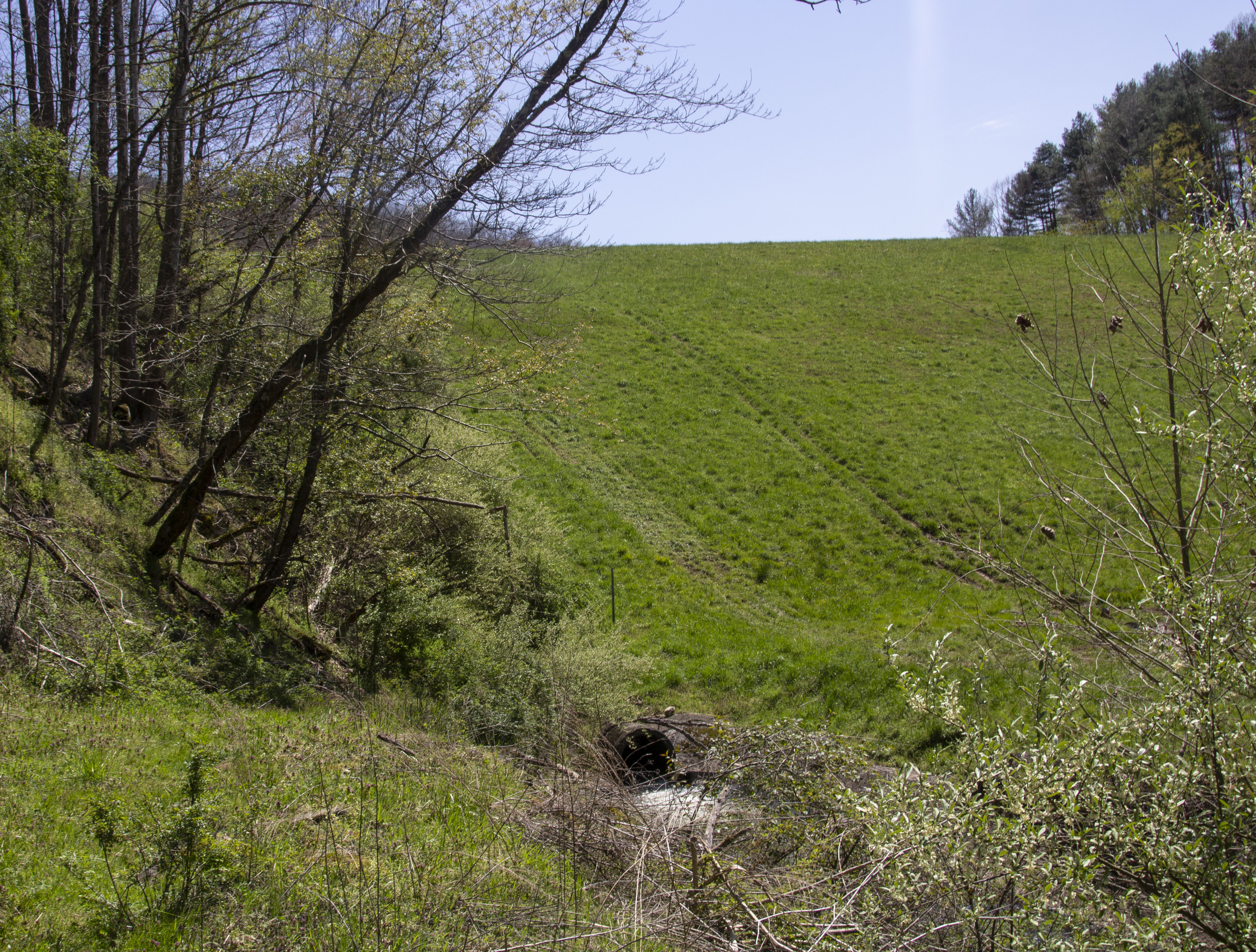
A seep (see photo below) on the downstream face of the dam has been identified and is being monitored. It is currently being evaluated for repair.
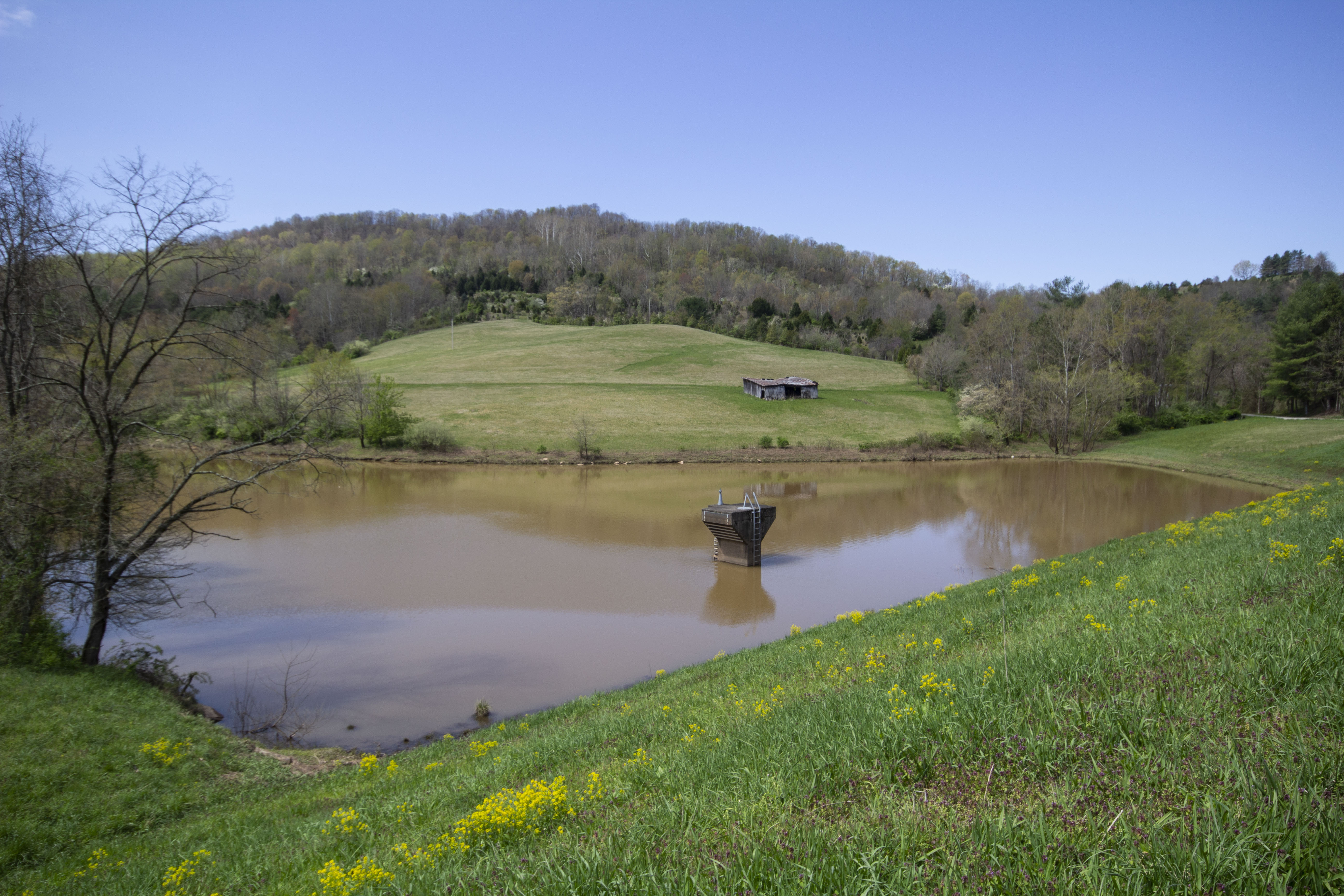
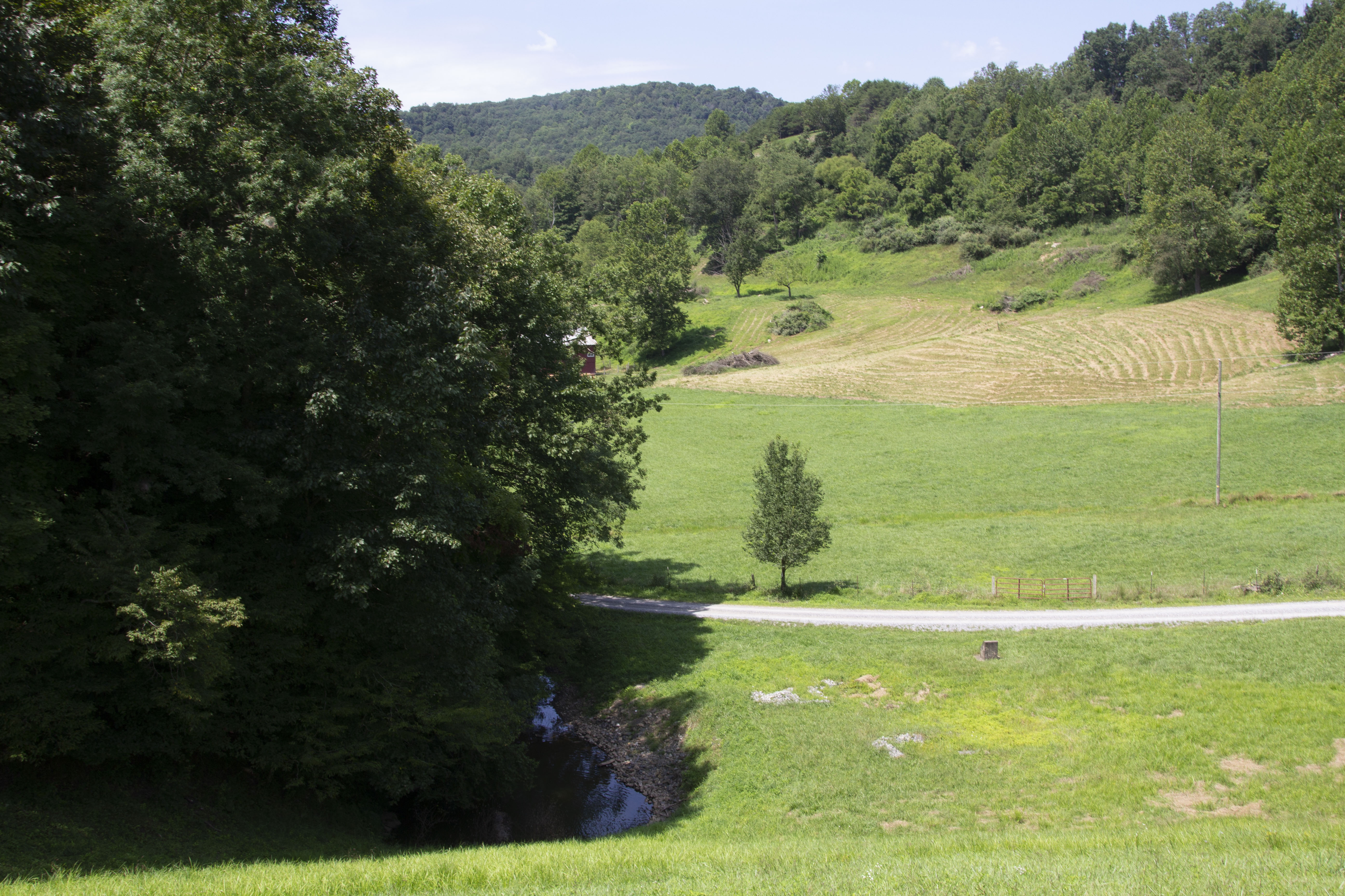
Saltlick Creek No. 9 (below) was completed in 1967.
The dam is 69 feet high and designed to impound a maximum volume of 3,106-acre feet of water.
Saltlick Creek flows into the dam.
The surface area of the dam is 16 acres and the drainage area is 9.75 square miles.