WV Watershed Focus: Salem Fork watershed dams
Harrison County, West Virginia, is home to some of the oldest flood control structures in the nation. The seven Salem Fork dams were built in response to a destructive flood in June 1950 in the town of Salem. As part of a national pilot program originating from the New Deal, the dams were designed to protect people, farmland, and property in that part of north central West Virginia.
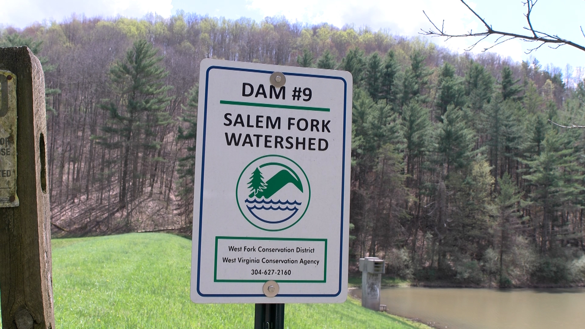
Current sponsors include the West Fork Conservation District, the West Virginia Conservation Agency, and the Harrison County Commission. The sponsors are responsible for the operation and maintenance of the structures, which helps to maintain the as-built condition and assure that they are functioning as designed.
Harrison County Commissioner Patsy Trecost II said that the seven Salem Fork dams, as well as some other non-WVCA/non-West Fork Conservation District dams, protect both the Salem and Lumberport areas of the county.
While dams in Harrison County are primarily for flood protection, it is also important to have a reserve of water for farmers in times of drought, Trecost said.
With that in mind, the dams’ purpose “is to protect and also to provide,” he said.
Each of the seven dams is classified as high hazard, meaning that if a breach were to occur, then loss of life and property are possible.
Each dam has an emergency action plan, which provides for the monitoring of the site so any emergency would be observed promptly and reported to agencies and people who may be affected.
The plans provide for the notification and evacuation of downstream residents to a safe place in the event of a potential or actual dam failure.
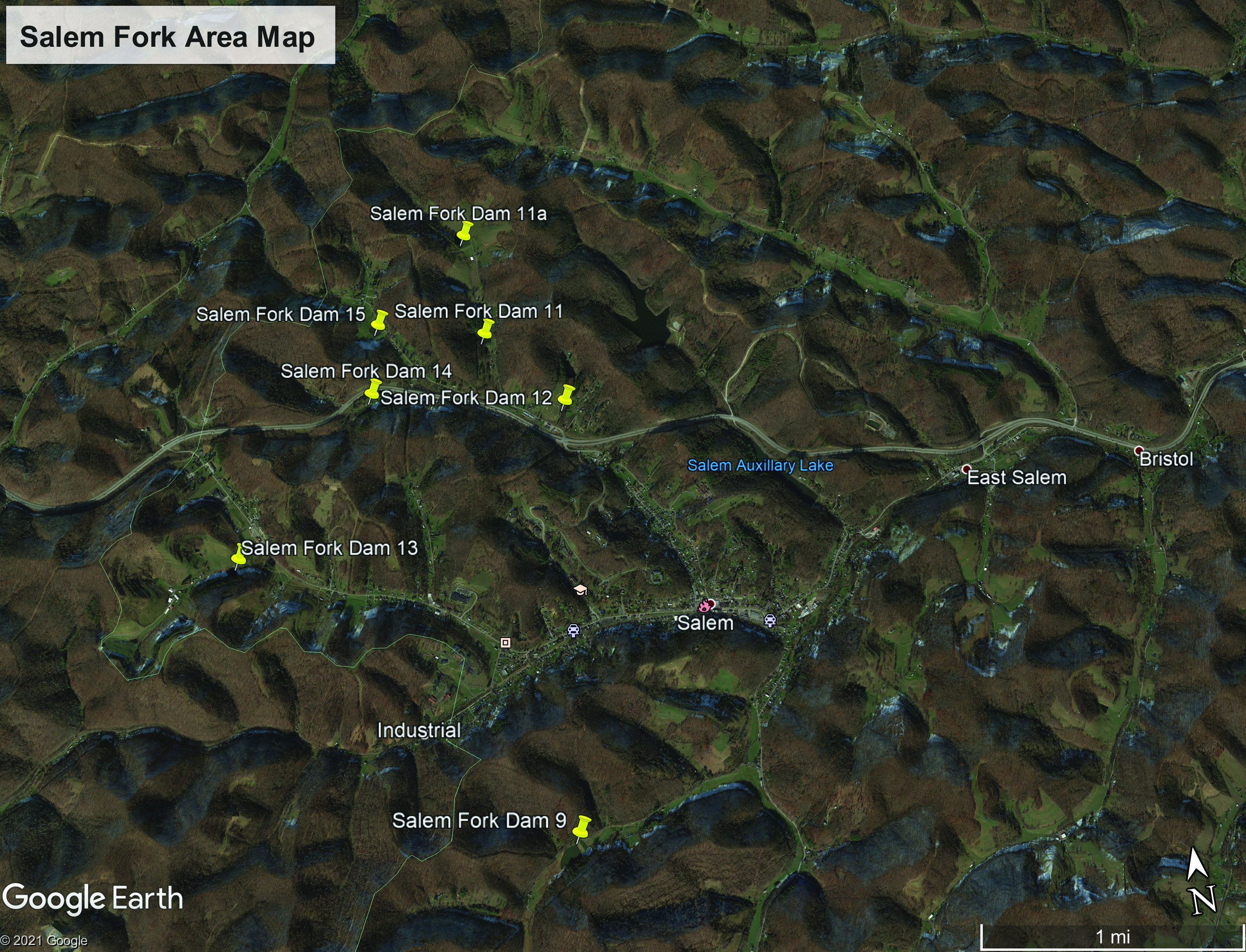
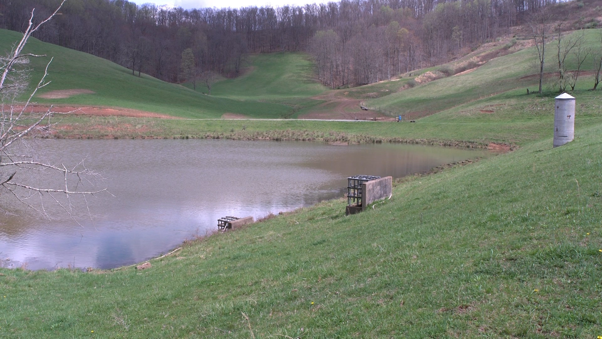
Salem Fork No. 9 was completed in 1955. The dam is 35 feet high and is designed to impound a maximum volume of 195 acre feet of water. A tributary of Patterson Fork flows into the dam. The surface area of the dam is 3 acres and the drainage area downstream is nearly 1 square mile. Nearly 400 people live downstream.
Salem Fork No. 11 was completed in 1956 and sits on a tributary of Jacobs Run. The dam is 29 feet high and is designed to impound a maximum volume of 55 acre feet of water. The surface area of the dam is 1 acre and the drainage area downstream is one-half of a square mile. Nearly 700 people live downstream.
Salem Fork No. 11A is one of the two oldest small watershed dams in the state. It was built in 1954. The dam is 26 feet high and is designed to impound a maximum volume of 88 acre feet of water. A tributary of Jacobs Run flows into the dam. Thirty-five people live within the drainage area downstream.
Salem Fork No. 12 was completed in 1955 and sits on a tributary of Jacobs Run. The dam is 35 feet high and is designed to impound a maximum volume of 41 acre feet of water. Approximately 220 people live in the area directly downstream.
Salem Fork No. 13 was the second dam built in 1954, making it and Salem Fork 11A the two oldest small watershed dams in the state. The dam is 26 feet high and is designed to impound a maximum volume of 41 acre feet of water. A tributary of Salem Fork flows into the dam. There are about 365 people who live immediately downstream of the dam.
Salem Fork No. 14 was completed in 1958 and is the youngest of the Salem Fork dams. The dam is 39 feet high and is designed to impound a maximum volume of 105 acre feet of water. The dam sits on Dark Hollow, a tributary of Jacobs Run, and provides protection to approximately 350 people living in the drainage area downstream.
Salem Fork No. 15 was completed in 1956 and sits on Jacobs Run. The dam is 26 feet high and is designed to impound a maximum volume of 55 acre feet of water. Approximately 300 people live in the drainage area downstream.